El Morro | Inscription Rock
Take a stroll through the past at El Morro National Monument, an oasis at the base of a mesa that has attracted travelers for over a millennia.

Water is a precious resource in this region, one that has always impeded widespread settlement and population growth. On the New Mexico/Arizona border, the lack of water has been fatal for many travelers passing through miles of hot, arid terrain.
El Morro, about an hour southeast of Gallup, is an oasis on the western plains. Rain and snowmelt cascade off the mesa, forming a small pool at the base of the 200-foot cliffs. The pool is on the east side of the mesa, which provides shade during the hottest part of the afternoon. The surrounding terrain is a combination of volcanic landscapes and high desert plains. With the lava fields of El Malpais National Monument and Bandera crater to the east and expansive grassy plains stretching to the western horizon, the watering hole has been the best place to stop between Acoma and Zuni for a very long time. Hot as blazes in the summer.
Based on artifacts found by archaeologists and the inscriptions left by waves of on the cliffs around the pool, this site has been a reliable source of water for over a thousand years. The inscriptions by American cavalry and Spanish conquistadors are next to petroglyphs left by the region’s original inhabitants. In total, there are more than 2,000 inscriptions and petroglyphs.

Guest Log Stamped in Stone
Based on artifacts found by archaeologists and the inscriptions left by waves of on the cliffs around the pool, this site has been a reliable source of water for over a thousand years. The inscriptions by American cavalry and Spanish conquistadors are next to petroglyphs left by the region’s original inhabitants. In total, there are more than 2,000 inscriptions and petroglyphs, like a stone guest log on the eastern edge of the Colorado Plateau.
Don Juan de Oñate was the first Spaniard to sign in at El Morro. He visited El Morro in April, 1605 while traveling home to San Gabriel from an expedition to the Pacific, carving his name in the rock 15 years before the Pilgrims landed at Plymouth Rock. The inscription reads:
Inscription: "Pasó por aqui, el adelantado Don Juan de Oñate del descubrimiento de la mar del sur a 16 de Abril de 1605."
Translated: "Passed by here, the adelantado Don Juan de Oñate from the discovery of the sea of the south the 16th of April of 1605."
Over the next several centuries many travelers recorded their passing. Some left no more than a name and date. Others left short narratives, like Franciscan priest, Father Nieto, who inscribed (translated from Spanish):
"Here was the Señor and Governor Don Manuel de Silva Nieto, whose indubitable arm and valor have now overcome the impossible with the wagons of the King Our Lord, a thing which he alone put into effect, August 5, 1629, that one may well to Zuni pass and carry the faith."
Father Nieto believed the Zuni people had been conquered and pacified by 1629, an opinion that would be corrected a few years later when a Spanish soldier dispatched to Zuni left this inscription on behalf of his unit: "They passed on March 23, 1632, to avenge the death of Father Letrado — Lujan."
After the Mexican-American War in 1846, Lt. James H. Simpson, a topographical engineer for the US Army, began surveying the Zuni and Navajo territory. In September 1849, he found the inscriptions at El Morro. He began copying the symbols, signatures, and dates on the promontory, dubbing the mesa “Inscription Rock.” They added their signatures, providing 2 of the 20 Anglo-American names at El Morro. By the following year, El Morro became one of the main watering holes for the flood of American wagon trains heading to California. The 1278 acres of El Morro National Monument was set aside in 1906. The National Park Service prohibited additional carvings on the mesa.

A'ts'ina Pueblo
Archaeologists believe the Zuni constructed A'ts'ina between 1275-1350. The village was occupied for a few decades. Archaeologists don’t know why they built in such an inaccessible location or why they abandoned the village so quickly. Given that it occurred during a period of migration throughout the region, there may have been a need for a defensible position due to drought induced famine.
The pueblo had approximately 850 rooms. It was home to 1000-1500 people. Multiple stories of interconnected rooms surrounded an open courtyard, like a stone apartment complex. Square and circular kivas provided space for informal gatherings as well as religious ceremonies. Villagers grew corn and other crops in irrigated fields on the plains below. Fully excavated, the pueblo would be larger than the pueblo ruins in Chaco Canyon.
The inhabitants of A'ts'ina left hundreds of petroglyphs, clear evidence that the ancient Puebloans established the precedent of recording their presence on the cliffs long before the conquistadors arrived.

Hiking Trails
There are two self-guided hiking trails available. The short trail leads visitors to the pool. This ½ mile loop is handicap accessible, passing many of the notable inscriptions and petroglyphs. It intersects the second loop trail loop twice at the base of the mesa.
The second trail is approximately 2 miles, ascending to the top of the mesa and across, passing the partially excavated ruins of a Zuni village, A'ts'ina, on the way. The second trail is a bit more strenuous due to the 250-foot ascent, but the view from the top is fantastic…mesas, forest, volcanoes, and plains stretching to the horizon. Allow an hour for the low road, 1.5 hours for the high road. Wear good walking shoes and take sunscreen, plenty of water, and a snack, particularly in the hot summer months when you dehydrate like a raisin without realizing it. For visitors from lower elevations, heat stroke and altitude sickness are a bad combination. Also, they close the Mesa Top Trail during inclement weather. You don’t want to be on top of the mesa when it is icy or when there is lightning.

El Morro is one of New Mexico’s smallest national monuments. Encompassing 2 square miles, the monument was established in 1906 to preserve the inscriptions and petroglyphs on the cliffs and the partially excavated Zuni village on top of the mesa.
El Morro National Monument
HC 61 Box 43
Ramah, NM 87321
(505) 783-4226
Hours
Visitor Center 9:00 am to 5:00 pm
Trails-9:00 am to 4:00 pm.
Closed Thanksgiving, Christmas & New Year's Day.
Directions
El Morro National Monument is located 56 miles southeast of Gallup, NM via Highways 602 and 53.
Camping
El Morro National Monument operates a year-round campground with 9 sites. Campsites are free. The don't accept reservations. Sites are available by self-registration on a first-come, first-served basis. The campground occasionally fills-up on weekends from May through September. There are no hookups for RVs. The limit on motor homes is 27 feet overall. Each site has a gravel tent pad, picnic table and ground grill for fires. Fires are permitted in provided grills only. Please comply with seasonal fire restrictions. Water is available during spring and summer months. Once the night time temperatures dip below freezing, park rangers turn off the water for the season. One site, #5, is handicap accessible.

210 S Second Street Gallup, New Mexico 87301 (505) 726-2600

1000 E. Highway 66 Gallup, New Mexico 87301 (505) 863-9311 Find A Room
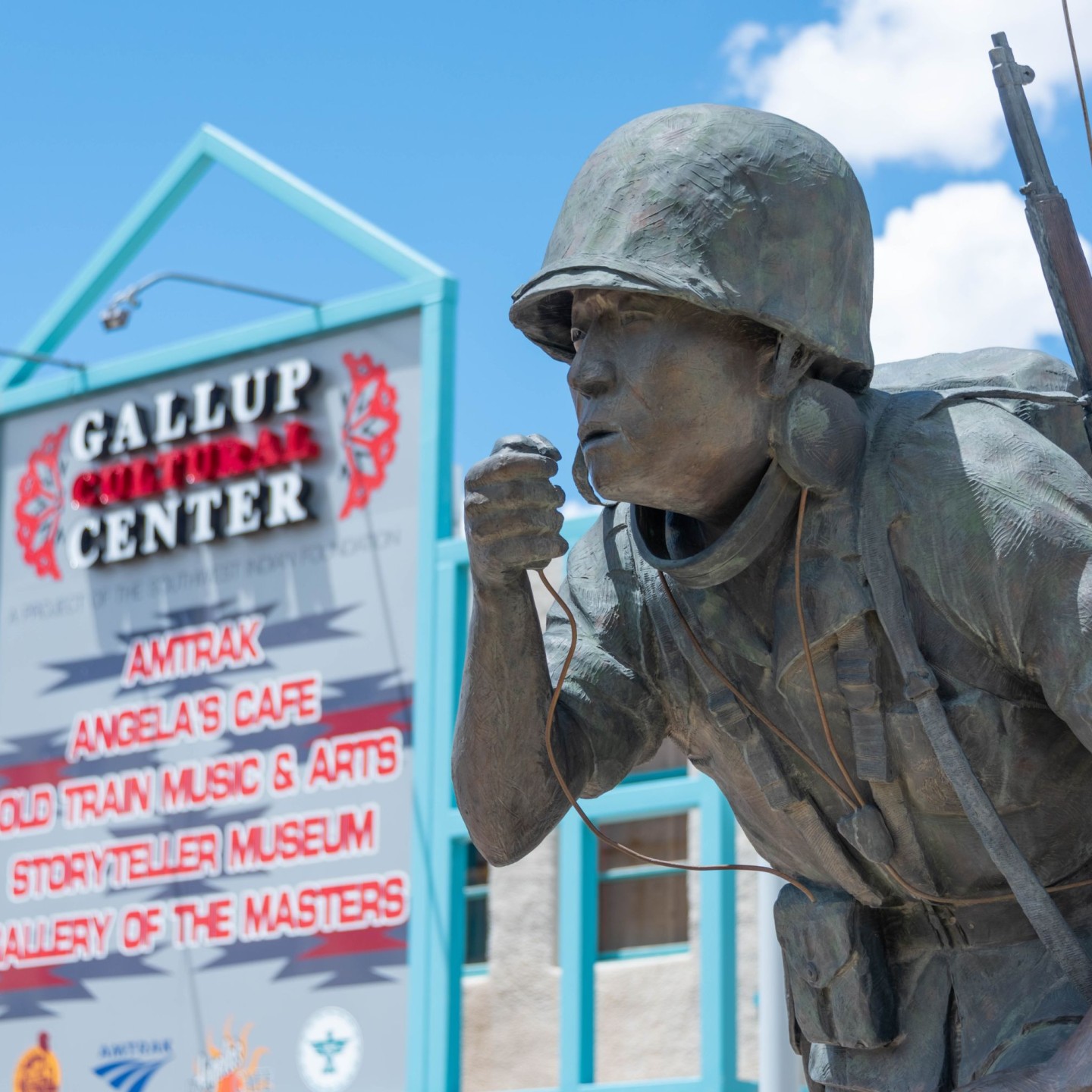
201 E Highway 66 Gallup, New Mexico 87301 (505) 728-8048

State Highway 400 McGaffey, 87301 (505) 346-3900

203 W Coal Ave Gallup, New Mexico 87301 (505) 410-2505
1830 State Hwy 602 Gallup, New Mexico 87301 (505) 778-5544

10 Gallup Day Trips
Explore the cultural and natural wonders around Gallup.

Events in Gallup
Explore Gallup's rich heritage and culture through community events, held throughout the year.

Food & Drink
Where culture meets cuisine, Gallup restaurants have something for everyone.

Where to Stay
Discover the best accommodations and hotels in Gallup, NM that will satisfy every travelers' needs and budget.

Full and Partial service RV and Campgrounds in Gallup
Looking to stay close to red rock landscapes, national parks, and outdoor adventure? Gallup is a gateway to camping in…
